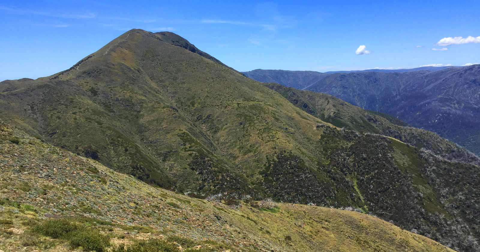
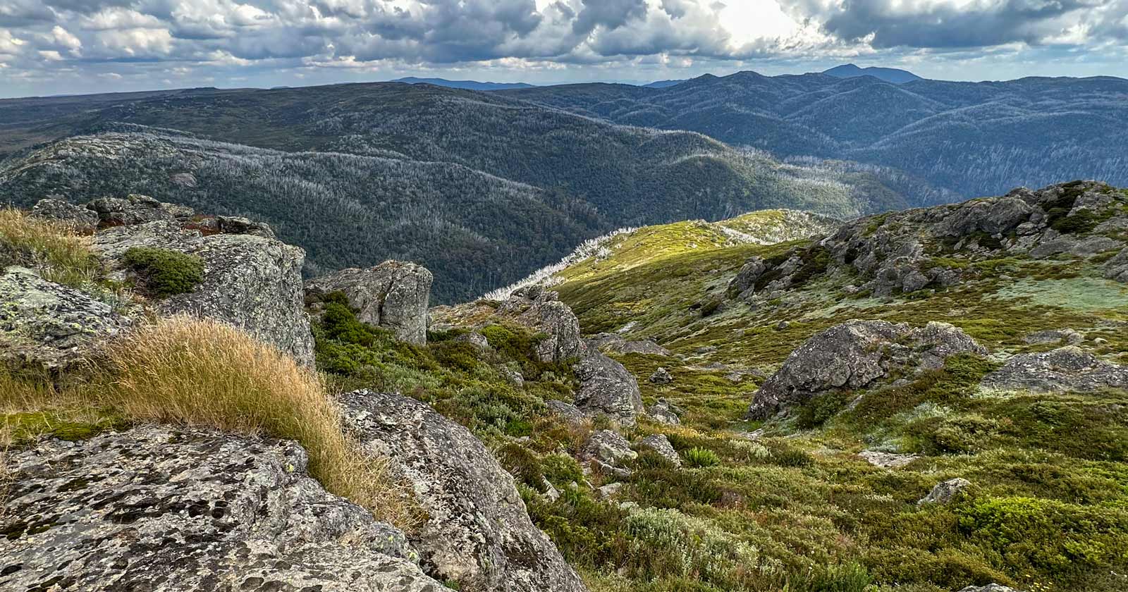
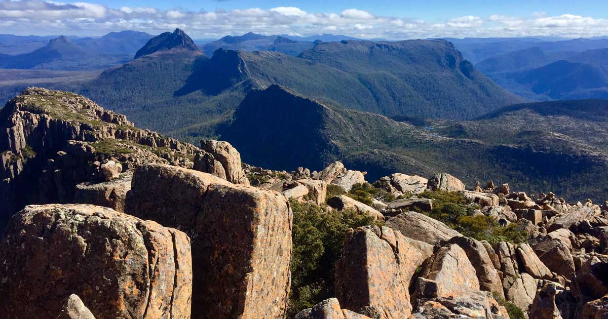
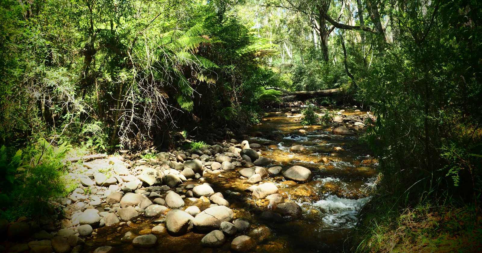
Victoria’s stunning landscape boasts a range of mountains, each offering unique challenges and breathtaking rewards for hikers of all experience levels. The Victorian Alps are a popular destination for bushwalking. They contain Victoria’s highest mountain, Mount Bogong, and other notable peaks including Mount Feathertop, Mt Hotham, Mt Buffalo, Mt Cope, and Mt Baw Baw.
Hike or run across the mountains and hills, valleys and high plains of the High Country and revel in breathtaking scenery on all sides. With an extensive network of tracks and trails around Victoria’s highest peaks, you can choose an adventure that suits your time and fitness level, from short walks and challenging runs to multi-day hikes.
Are you are looking to explore Victoria’s highest peaks?
Here’s your guide to the top 10

1. Mount Bogong (1,986m)
Standing tall at 1,986 meters (6,516 ft), Mount Bogong is the undisputed king of Victorian mountains. Part of the Alpine National Park and the Victorian Alps, it’s a crown jewel of the Great Dividing Range.
The Big River carves a path between Mount Bogong and the Bogong High Plains to the south. Compared to the nearby town of Mount Beauty, the peak boasts a staggering 1,600 meters (5,200 ft) of elevation gain, making it a prominent landmark not just for its height above sea level, but also for its dramatic rise from the valley below.
Camping is a popular option below the treeline, but be aware of the exposed conditions on the summit ridgeline. Thankfully, emergency shelters are available at Bivouac Hut, Cleve Cole, and Michell’s Hut for added peace of mind during your adventure.

2. Mount Feathertop (1,922m)
Victoria’s second-highest mountain, Mount Feathertop, cuts a striking figure within the Alpine National Park. Reaching 1,922 meters, it’s a prominent member of the Australian Alps, typically adorned with a snowy coat from June to September. Unlike its rounded neighbors, Feathertop boasts a distinctive feature: steep summit slopes. These slopes hold onto snow well into spring, creating the very “feathers” that inspired its name.
Mount Feathertop’s proximity to Mount Hotham makes it a magnet for backcountry skiers. However, be warned: this beauty has a wild side. An enormous and treacherous snow cornice forms on the summit ridge during winter and spring. Tragically, this cornice has been responsible for several fatalities. The mountain’s slopes can also become dangerously icy, posing a risk for skiers and hikers alike.
Despite the challenges, Feathertop’s breathtaking views and demanding hikes make it a coveted destination for experienced adventurers.

3. Mount Nelse West (1,891m)
A less well-known than the previous two peaks, but still a challenging climb with stunning views. Mount Nelse West is situated within the Bogong High Plains area of the Alpine National Park in northeastern Victoria, Australia. It is part of the larger Australian Alps, which span across Victoria, New South Wales, and the Australian Capital Territory. from the summit, you’ll be rewarded with breathtaking panoramic views of the surrounding alpine landscape, including nearby mountains, valleys, and pristine wilderness areas.

4. Mount Loch (1,887m)
Mount Loch is a prominent peak located in the Australian state of Victoria, within the Alpine National Park. It is part of the Victorian Alps region and is situated near the well-known Mount Hotham ski resort area. Offers a challenging hike with beautiful wildflower displays in the spring.
The summit of Mount Loch offers breathtaking panoramic views of the Alpine National Park and the surrounding high country. On clear days, visitors can see vast expanses of pristine wilderness, including alpine meadows, rugged peaks, and dense forests.
Access to Mount Loch and its hiking trails may vary depending on weather conditions and seasonal closures. The area is accessible by car via the Great Alpine Road, with parking available at various trailheads. It is advisable to check with local park authorities or visitor centers for up-to-date information on road access and trail conditions before planning a visit.

5. Mount Nelse North (1,885m)
Mount Nelse North is located in northeastern Victoria, within the Alpine National Park. It is situated near the Bogong High Plains and the popular ski resort area of Falls Creek.
During the winter months, Mount Nelse North and the surrounding area become a playground for snow sports enthusiasts. The nearby Falls Creek ski resort offers downhill skiing, snowboarding, cross-country skiing, and snowshoeing opportunities, attracting visitors from near and far.
The summit of Mount Nelse North offers breathtaking panoramic views of the Alpine National Park and the surrounding high country. On clear days, visitors can see distant mountain ranges, deep valleys, and pristine wilderness areas, providing ample opportunities for photography and nature appreciation.

6. Mount Fainter South (1,883m)
At 1,883 metres above sea level, it’s a respectable peak, ranking as the sixth highest mountain in Victoria. Nestled within the Alpine National Park, it’s part of the Victorian Alps and the Great Dividing Range. The summit of Mount Fainter South offers breathtaking panoramic views of the surrounding mountains, valleys, and alpine meadows. On clear days, visitors can enjoy vistas stretching as far as the eye can see, with glimpses of distant mountain ranges and pristine wilderness areas.
Access to Mount Fainter South and its hiking trails may vary depending on weather conditions and seasonal closures. The area is accessible by car via the Bogong High Plains Road, with parking available at designated trailheads. Visitors are advised to check with local park authorities or visitor centers for updated information on road access and trail conditions before planning a visit.

7. Mount Nelse (1,882m)
Nestled within the Bogong High Plains, Mount Nelse is part of the Victorian Alps and the Great Dividing Range. Located close to Falls Creek Resort, Mount Nelse is a picturesque mountain destination in Victoria, offering visitors the chance to experience the natural beauty and tranquility of the Australian Alps region throughout the year. Whether hiking to the summit, skiing in the winter, or simply enjoying the scenic views, Mount Nelse and the surrounding area provides a memorable outdoor experience for nature lovers and adventurers alike.

8. Mount Hotham (1,868m)
Mount Hotham is the eighth highest peaks in Victorian and is renowned as a premier alpine resort in Victoria, Australia. Mount Hotham is well-known for its ski resort, which offers a range of winter sports activities, including downhill skiing, snowboarding, cross-country skiing, and snowshoeing. With its extensive ski runs, varied terrain, and reliable snowfall, Mount Hotham attracts skiers and snowboarders of all skill levels, from beginners to advanced enthusiasts.
Beyond its reputation as a ski destination, Mount Hotham is celebrated for its stunning alpine scenery and panoramic views. Visitors can enjoy breathtaking vistas of the surrounding mountains, valleys, and forests, particularly from the various lookouts and vantage points accessible by car or on foot. Hiking trails crisscross the mountain and surrounding area, providing opportunities for bushwalking, nature appreciation, and wildlife spotting. Popular hikes include the Mount Hotham Summit Walk and the Razorback Trail.

9. Mount Jaithmathang (1,852m)
The summit of Mount Jaithmathang stands at approximately 1,852 meters above sea level, making it one of the notable peaks in the region. Mount Jaithmathang holds significant cultural importance to the Indigenous Australian communities, particularly the Aboriginal tribes of the region. The mountain is considered sacred and is associated with traditional stories, ceremonies, and spiritual beliefs. It is essential to respect the cultural significance of the mountain and its surroundings when visiting the area.
The summit of Mount Jaithmathang provides breathtaking panoramic views of the surrounding alpine landscape, including nearby mountains, valleys, and wilderness areas. Mount Jaithmathang offers visitors the chance to experience the natural beauty and cultural significance of the Victorian Alps region.

10. Mount McKay (1,849m)
Mount McKay is a mountain in the Australian Alps region of Australia’s Great Dividing Range. Nearby is the Falls Creek Alpine Village, offering access to skiing in winter. This peak holds the title of the highest drivable point in Australia. From the summit, you can soak in incredible views of the Falls Creek village and the surrounding plains stretching for hundreds of kilometers on a clear day. But the panorama extends far beyond the immediate surroundings. The summit of Mount McKay provides breathtaking vistas across the Bogong High Plains, with sprawling valleys and vibrant alpine meadows adding to the scene. On clear days, visitors can enjoy vistas stretching across vast expanses of pristine wilderness, with glimpses of distant mountain ranges and valleys.
While the following two summits are not in the top ten, they are worth a mention as they are both in the same region and be completed as part of a full circuit traverse.
These are just a few of the many beautiful mountains that Victoria has to offer. If you’re looking for a challenge and some stunning scenery, be sure to add these peaks to your hiking list.

11. Mount Cope (1,837m) and Spion Kopje (1,837m)
Mount Cope sits at a respectable height of 1,837 meters (6,027 ft), making it a prominent peak in Victoria. It shares the title with the nearby Spion Kopje Spion Kopje (1,837m) as the tenth highest peak in Victoria. There’s a single walking track to the summit of Mount Cope that commences at the Bogong High Plains Road. The walk to the summit of Mount Cope offers some of the best views in the high country.
Before you go, here’s a few things to consider.
If you are up for the challenge, it’s is possible to traverse all peaks in a single multi-day adventure. It will however require careful planning as stringing them all together will require a long and challenging hike. You could pick them off one at a time or in clusters by planning day hikes, overnighters or shorter multi-day hikes. Ultimately, the best approach depends on your experience level, desired challenge, and the time you have available.
- Distance: The peaks are spread out across the Victorian Alps, making the total distance between them significant. I’ve mapped out a circuit that is just over 150km in length.
- Terrain: These mountains vary in difficulty. Some, like Mounts Bogong and Feathertop, have established trails, while others might require more technical climbing. This could significantly slow down your pace and increase the complexity of planning and logistics.
- Resupply: Planning for resupply points with food and water becomes more challenging with a vast distance to cover.
Important Note: Weather conditions in the mountains are colder, wetter and much less predictable than at lower altitudes. Be prepared for unpredictable weather conditions including snow, thunderstorms, high winds, and fog. Always carry a Personal locator beacon (PLB), appropriate gear, clothing and check the latest weather forecast before you set off. You need to be equipped for hiking and camping in all conditions and to be familiar with the symptoms and treatment of dangerous cold stress (hypothermia) and heat stress (hyperthermia).

Possible itinerary
As mentioned earlier, with an extensive network of tracks and trails around Victoria’s highest peaks, you can choose an adventure that suits your time and fitness level, from short walks and challenging runs to multi-day hikes. If you wanted to tackle all 10 in one traverse, here’s a possible 150km itinerary (all distances are approximate and are from summit to summit). As you can see, a lot of the summits are clustered close together. It’s not until you need to head out to Bogong and Feathertop that the distances and terrain becomes more challenging.
- Trailhead: Loch carpark Hotham Heights
- Mount Loch summit (3.5km)
- Mount Cope (21.5km)
- Mount McKay (13km)
- Mount Nelse (15km)
- Mount Nelse North (2km)
- Mount Nelse West (1km)
- Spion Kopje (6km)
- Mount Bogong (15km)
- Mount Fainter South (37km)
- Mount Jaithmathang (6km)
- Mount Feathertop (18km)
- Mount Hotham (12km)
- Trailhead: Loch carpark Hotham Heights (1km)
Explore Victoria’s high country
The top 10 peaks outlined in this guide provide a glimpse into the variety and beauty that Victoria’s high country offers. Whether you’re drawn to the towering summit of Mount Bogong, the steep slopes of Mount Feathertop, or the panoramic views from Mount Hotham, there’s a peak to suit every adventurer’s taste and skill level.
Victoria’s diverse landscape presents a playground for outdoor enthusiasts, particularly hikers, with its array of stunning mountains offering both challenge and reward. From the majestic heights of Mount Bogong to the distinctive slopes of Mount Feathertop, each peak carries its own allure and demands a level of respect from those who seek to explore them.
Ultimately, the allure of Victoria’s highest peaks lies not just in the physical challenge they present, but also in the opportunity to immerse oneself in the breathtaking scenery and tranquility of the Alpine National Park and surrounding areas. With proper preparation and a spirit of adventure, exploring these peaks promises an unforgettable experience for hikers of all levels.
Data source for peak heights: Geoscience Australia. Bogong 1:100 000 topographic map


