Trail Fast Facts
Fainter and Spion Kopje Firetrail Circuit is a 65km, grade 4 hike in Alpine National Park, Victoria. This hike typically takes 4 days to complete.
Warning
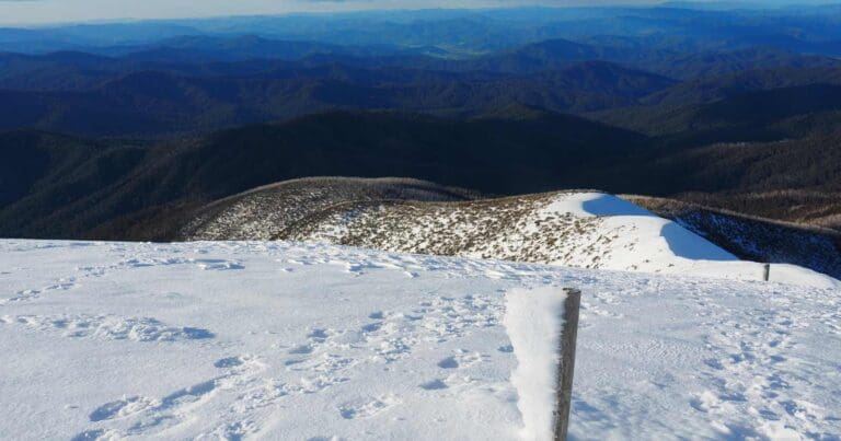
While this is not an overly challenging hike, do not attempt this circuit during winter unless you are experienced in Alpine conditions and have the necessary equipment for hiking and camping in snow. This hike requires that you have a sufficient level of navigation experience, equipment (in good working order), fitness and self-reliance. It is vital that you take personal responsibility for ensuring you are prepared!
Hike Overview
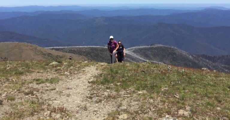
The Fainter and Spion Kopje Firetrail Circuit will reward you with stunning views over the Victorian Alps. This is detailed as a four-day hike but can easily be varied based on how far you wish to hike each day. Once on the plateau, campsites and water are not difficult to find.
The hike commences at Bogong Village, approximately 15km from Mount Beauty. While camping is not permitted in the Village itself, you can drive through the Village to the Picnic Ground if you wanted to car camp for an early start. The alternative would be to find accommodation in Mount Beauty and leave you car at the trailhead.
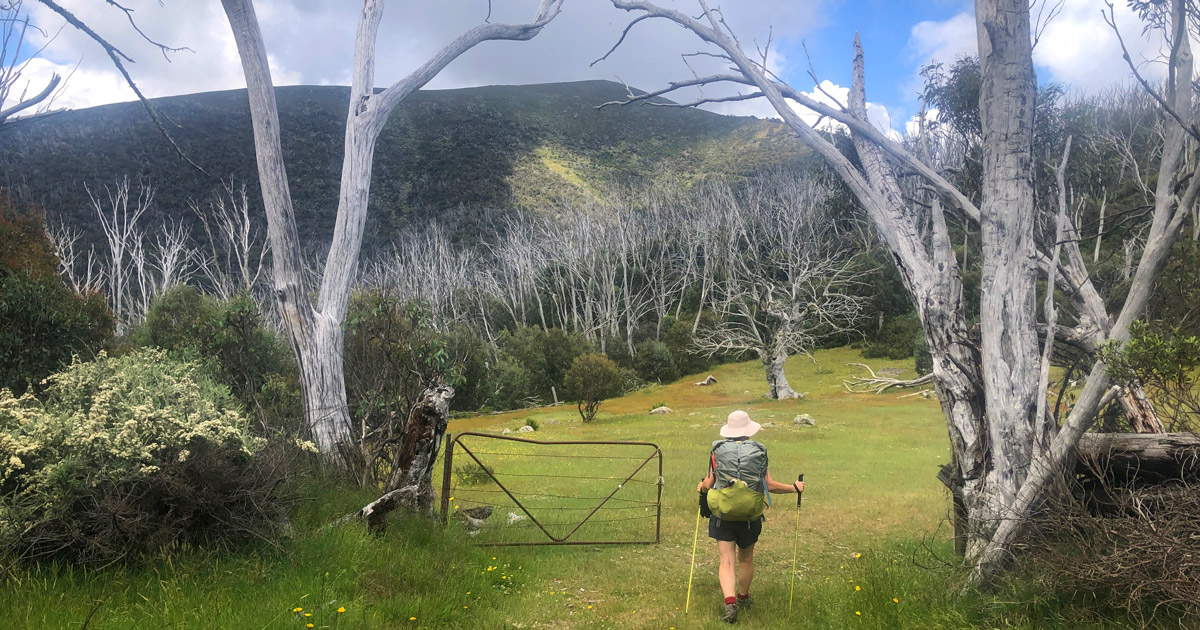
To locate the start of the walk (Spring Saddle Track), follow the main road through Bogong Village until you reach the Bogong High Plains Road. Immediately to your left you will see a side road heading up hill towards what looks like a shipping container. It's actually a water treatment plant. There is a walking track the continues past the treatment plant and heads directly up hill, following the power station fence line. After a few hundred metres you will easily locate Spring Saddle Track.
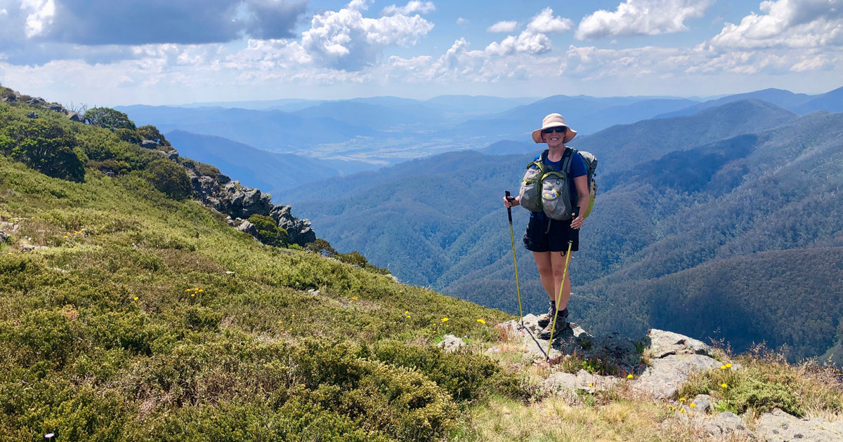
You will then climb gradually along a well-formed vehicle track for the next 7km to Spring Saddle. By the time you reach this point, you will have gained around 560m in elevation from the trailhead. At Spring Saddle, turn south (left) onto the Fainters Firetrail which continues to ascend past Bald Hill to Bogong Jack Saddle at an elevation of around 1550m. This is a large open area that is great for a lunch stop or overnight camp. Bogong Jack Hut can be located a short distance north of the campground. It is a small hut that has certainly seen better days. As with all Alpine huts, you can't camp in it unless its an emergency.
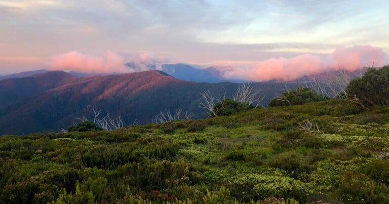
The trail then continues above the tree line towards Mount Fainter North and Mount Fainter South where you will be rewarded with stunning 360-degree views over the Victorian Alps. Mount Feathertop is clearly visible to the west and Mount Bogong to the east. Camping on the saddle between these two peaks will allow you to experience amazing alpine sunsets.
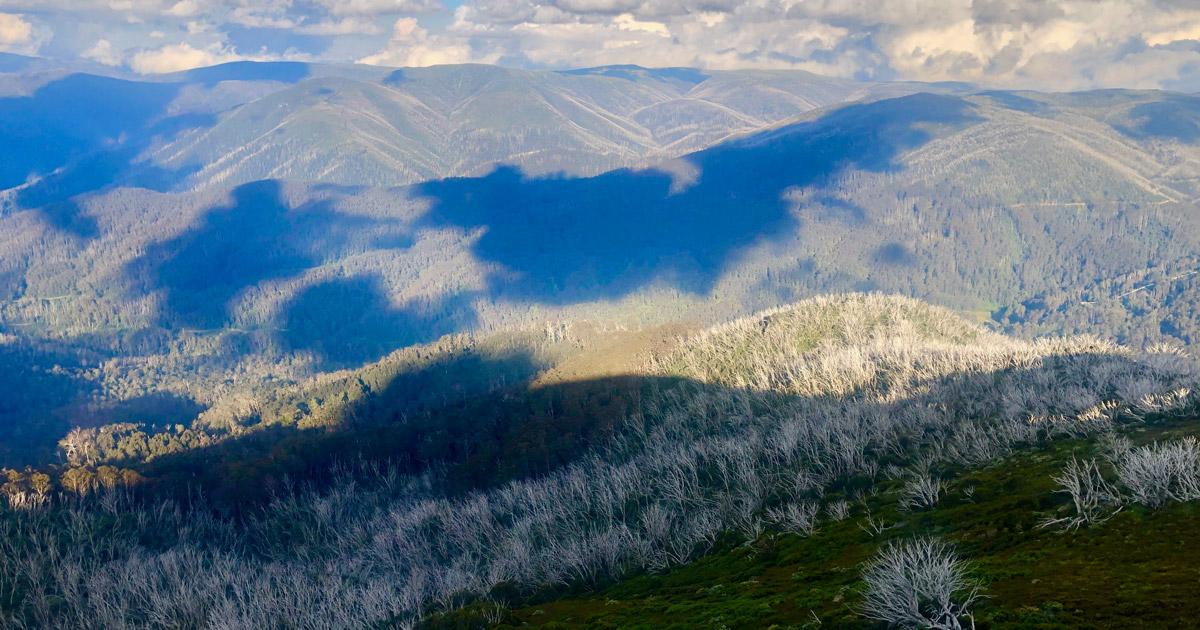
Continue to follow the Fainters Firetrail onto the Little Plain and the start of the Mount Jaithmathang Range (pronounced Yit-ma-thang). The main firetrail continues south past the range to Tawonga Huts where you will find a walking track that leads back to the summit of Mount Jaithmathang. The downloadable GPX file at the end of these notes contains an off-trail section that traverses the Jaithmathang range to the summit and then follows the walking track down to Tawonga Huts. If you are not comfortable with off-trail navigation and rugged overgrown terrain, I'd recommend keeping to the fire trail as either way, you can still summit to appreciate the views.
Further along the trail you will reach Tawonga Huts and their associated cattle yards. These were built when cattle grazing was still permitted in the national park. The huts are a great place to stop for lunch or as an overnight camp. There is a nice running creek for water and large grassy area to rest for a while. If you are planning on camping the night, just be mindful that the hut area can be crowded with hikers and mountain bikers as it is an easy day walk from Falls Creek.
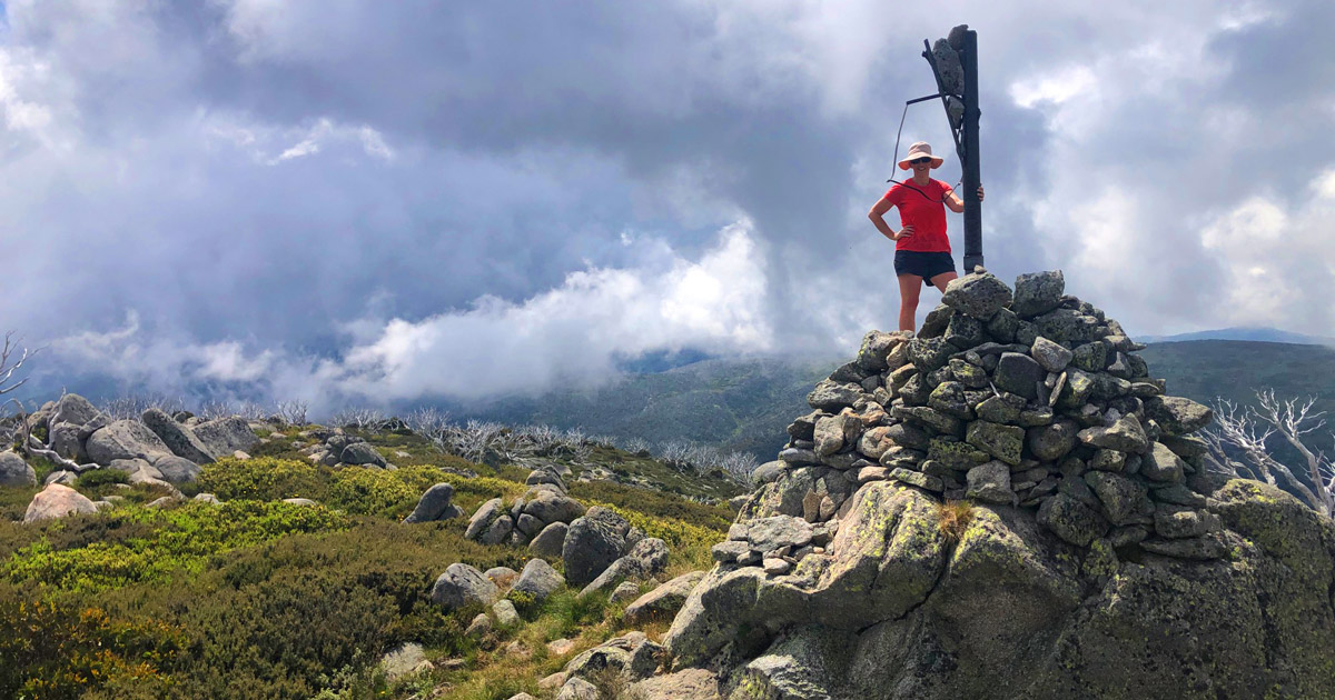
A short distance from the huts, the Fainters Firetrail turns east towards Pretty Valley and Falls Creek. Just before the track turns, keep an eye out for snow poles that indicate a track leading southwest over the Bogong High Plains into the Bundara-Cobungra Remote and Natural Area. You will now start to see a series of tracks, all marked with snow poles as they branch out across the plains. You will note most of the poles are numbered so look out for pole 333 which is the junction of the Australian Alps Walking Track (AAWT). It's not really hard to miss as it looks like a street sign in the middle of nowhere.
You will now follow the AAWT east across the High Plains past Mount Bundara, Cope Saddle Hut, and Mount Cope before arriving at The Bogong High Plains Road and Bogong Chalet carpark. Walking through the carpark, follow the Langford West Aqueduct Road down towards the historic Cope Hut, built in 1929 as a ski touring refuge. Today it is still a refuge only to be used in emergencies, but you can book great camping platforms nearby or camp on the grassy plains areas among the snowgums for free. Cope Hut is part of the Falls to Hotham Alpine Crossing platforms so make sure you book your platform here.
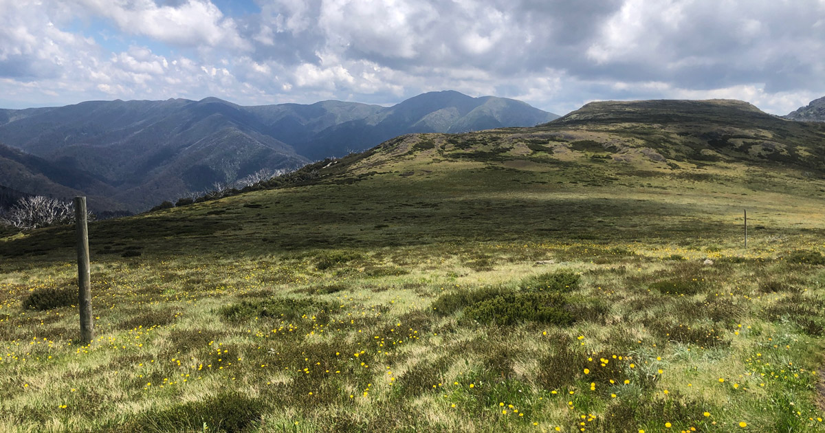
From Cope Hut, the hike follows the Langford West Aqueduct Road. The aqueduct is an open channel with fresh flowing water so you will have no issue collecting water for the next few kilometres of the hike. Keep following the aqueduct past Langfords Gap until you reach a covered bridge that crosses the aqueduct. This is where the AAWT climbs north on a narrower walking track past Marum Point and The Park towards Mount Nelse at an elevation of 1882m. If you wanted to camp before the final steady climb up Mount Nelse, you will see side-tracks on the east and west of the AAWT that lead to both Edmonsons and Johnsons Huts. These are both great overnight camping areas located approximately 1km from the main trail.
When nearing the summit of Mount Nelse North, the AAWT continues to the north with the Spion Kopje Firetrail breaking to the west to follow the Spion Kopje Spur. A few kilometres from the junction the trail descends into a slightly lower valley and the head of Big River. This is a great spot to stop for a break, have a swim, camp for the night, and collect water as you may not see any for the next 8km. The firetrail continues west alongside Spion Kopje and Little Spion Kopje. If you feel like summitting either of these rocky peaks, be prepared to fight your way through very dense alpine brush.
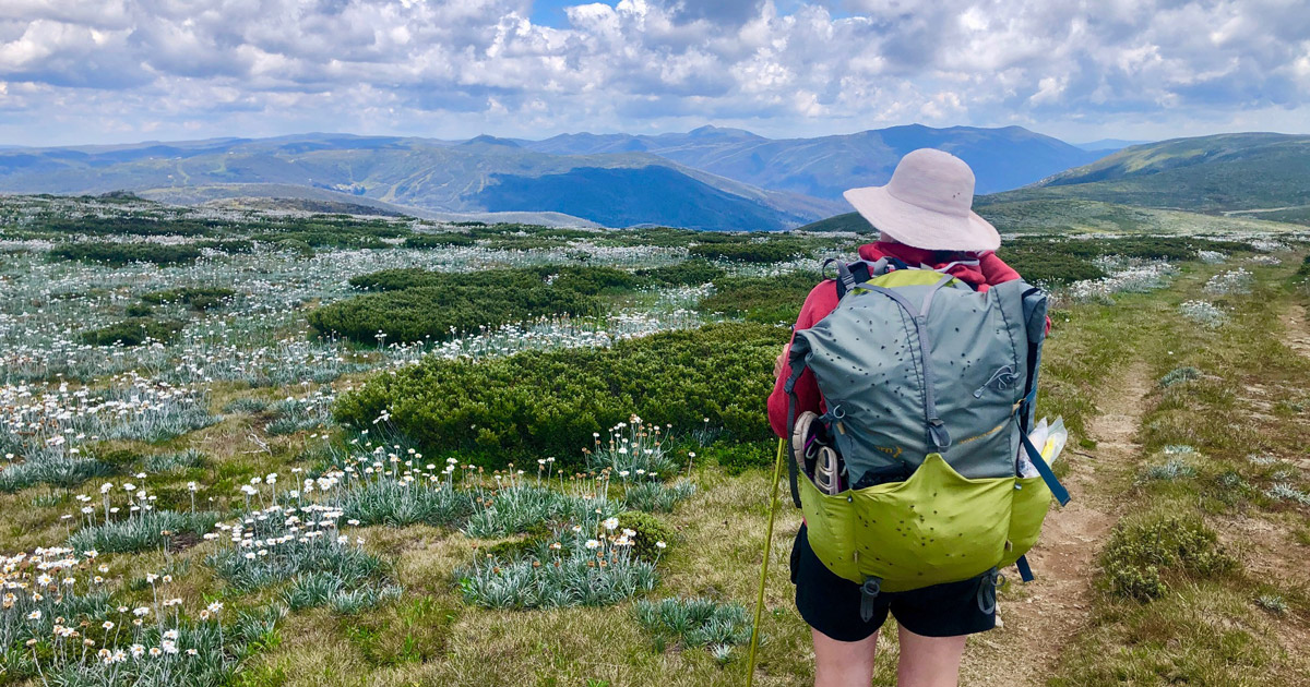
On leaving the summit of Little Spion Kopje, the firetrail starts to descend quite rapidly down the spur. What starts as a narrow and rocky walking track soon becomes a disused vehicle track that is easy to follow as it twists and turns it way down the spur.
At around 5km down the spur and 5km from the end of the circuit, you will come across Rocky Valley Creek. This valley certainly lives up to its name as some of the boulders in the creek (river) are larger than cars. An important thing to note with this creek is there are no bridges. A rocky vehicle ford allows you to cross the creek, but you will get your feet wet. This river can flood after heavy rain and snow melt so be extra careful. The river flows quickly and if you are swept off your feet, it will not turn out well. When we hiked this circuit in January, the water level was thigh deep and was flowing quite fast.
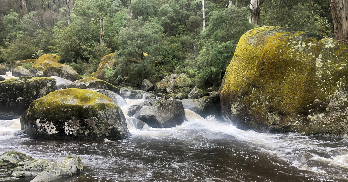
The last 5km of the hike traverses beautiful alpine forests with towering gum trees as it winds it way, along the river, through the Bogong Village Picnic Ground and back to the trailhead at Bogong Village.
This is a spectacular hike that allows you to experience so much of the Victorian Alps without any serious challenge. The views are spectacular, the trail is easy to follow, and the campsites and water are plentiful. Just remember the warning, that in winter this would be a very different story unless you have alpine hiking and camping experience and gear.
Images: Darren Edwards. (Shown in no particular order).
Map and GPX file
Max elevation: 1885 m
Min elevation: 660 m
Total climbing: 3013 m
Total descent: -3013 m
Trailhead
Sorry, no records were found. Please adjust your search criteria and try again.
Sorry, unable to load the Maps API.
Track Grade
Grade 4 (Hard) - Challenging Walks for Experienced Walkers: Grade 4 on the AWTGS signifies challenging walking tracks. Bushwalking experience is recommended for these tracks, which may be long, rough, and very steep. Directional signage may be limited, requiring a good sense of navigation. These walks are suited for experienced walkers who are comfortable with steeper inclines, rougher terrain, and potentially longer distances.
Getting there
The trailhead is located at Bogong Village, only a 15 km drive from Mount Beauty and the Kiewa Valley and 15 kms from Falls Creek. Bogong Village sits between mountain ridges high in the Kiewa Valley where the Kiewa river meets Lake Guy halfway between Mt Beauty and Falls Creek. Albury on the Hume Highway is a little over an hour away at the opposite end of the valley or, if you're arriving from the south, there are several options for crossing the ridge from the Ovens to the Kiewa Valley. The drive up the valley is a delight at any time of the year. Snowcapped mountains, dairy cows in lush green pasture, towering mountain ash and clouds that hang in the foothills as small towns roll by, create a sense of anticipation about reaching the top of the valley.
About the region
The Alpine National Park is a national park in the Central Highlands and Alpine regions of Victoria, Australia. The 646,000-hectare national park is located northeast of Melbourne. It is the largest National Park in Victoria, and covers much of the higher areas of the Great Dividing Range in Victoria, including Victoria's highest point, Mount Bogong at 1,986 metres and the associated subalpine woodland and grassland of the Bogong High Plains. The park's north-eastern boundary is along the border with New South Wales, where it abuts the Kosciuszko National Park.
Bogong Village
Halfway between Mount Beauty and Falls Creek on the Bogong High Plains Road, Bogong Village is a restful place to kick back in a tranquil environment surrounded by the Alpine National Park and overlooking Lake Guy.
Originally built for workers on the Kiewa Hydro Electric Scheme, Bogong Village is steeped with history. The village today has great views, lovely gardens, rivers and lakes and perfect places for picnics and barbecues. Self-contained holiday cottages had been renovated and were available for rent however AGL has now ended all leases and the accommodation is no longer able to be booked.
Suggest an edit
Spotted a change on this trail? Maybe there are new features, the route has shifted, or the trail is permanently closed. Whatever the update, I’d love your input. Your feedback helps fellow hikers stay informed and ensures that our trail info stays fresh and reliable.
Similar trails nearby
Looking for things to do in Alpine National Park or nearby? Try these similar hikes or bushwalks.
Let someone know
Adventure with Confidence: Register Your Trip Plans
Before you hit the trail, take a moment to fill out our trip intentions form. It’s a simple way to share important details about your hike with family or friends. If things don’t go as planned and you’re not back on time, they can easily notify emergency services, helping to ensure a quick response and reducing worry. Enjoy your outdoor adventure knowing that you’ve taken a smart step for your safety.
Gear to consider
What you carry in your pack will depend on the weather, terrain, time of year, type of adventure, and personal preferences. Having trouble deciding what gear’s right for you? My free planning, food and packing checklists provide an introduction to things your could consider (as well as the Ten Essentials) on your day, overnight and multi-day adventures. Customise your kit according to your personal needs, always considering safety first.
Explore Safe
While planning your hike, it’s important to check official government sources for updated information, temporary closures and trail access requirements. Before hitting the trail, check local weather and bushfire advice for planned burns and bushfire warnings and let someone know before you go. Plan ahead and hike safely.
Weather
Acknowledgement of Country
Trail Hiking Australia acknowledges the Traditional Owners of the lands on which we hike and pay respects to their Elders, past and present, and we acknowledge the First Nations people of other communities who may be here today.


3 Reviews on “Fainter & Spion Kopje Firetrail Circuit Hike (65km)”
Just a heads up, since the landslide on the BHP Road, there’s no access to Bogong Village.
A more recent update, Bogong Village is all fine and open (Sept 2024) but Spring Saddle Track now has a construction site where the landslip let go and made a huge mess. There’s a new water treatment facility that has been built/is being built on the landslip, and it is smack back in the middle of the entrance to Spring Saddle Track. Not sure if there’s a kosher way through to where the track begins which does not involve going through the construction site, but maybe a local with local knowledge can jump in?
This next bit is only useful should you decide to follow the track in a clockwise direction:
The track when it heads north from Mt Jaithmathang to the Fainters becomes more theoretical in places, but there is the occasional rock cairn. That section could be considered “fun” to attempt if you are wearing pants (and maybe gaiters), but if you cannot deal, then the lower fire trail that runs from Tawonga Huts will get you from there to the Fainters much fasterer.
Probably sounds like a dumb question but how do I get this map to load onto my iphone?
Julie Roberts do you have an app where you can import the GPX file? You’ll need that first. Then it should be as simple as downloading the file and telling it to open using the app.
Trail Hiking Australia I used to use Alltrails for GPX files but have since ditched it. Do you have a recommended app?
Julie Roberts for iPhone, I find Pocket Earth Pro to be very good. It’s got a heap of features. Detailed, interactive, customizable, and frequently updated worldwide maps, available online and off! True high resolution support for Retina display giving crisp, beautiful maps. Online Routing with driving/cycling/walking directions! Save your routes for offline use! Hands-free GPS Navigation.
Thank you so much!!!! Weather permitting I’m going to give this hike a crack later this month😁
Julie Roberts excellent. Let me know if you have trouble importing the GPX file as I can do a screen recording to show you how it works.
Trail Hiking Australia Thanks so much 😁
Trail Hiking Australia if you could that would be amazing. I’ve been trying all afternoon with no luck. 🤯
Julie Roberts No trouble. Here it is. I don’t think it captured my audio so here’s the instructions.
1. Navigate to the trail on my website
2. Find and click the download GPX button. Then click download at the bottom of your screen. The file will download.
3. Click ‘open in’ at the bottom of your screen
4. Select Pocket Earth from the available apps
5. Click ‘import’, wait for it to import, then click ‘view’ when prompted. You should now see the route.
Media: https://www.facebook.com/906699427531853/videos/390784266648961
Thanks, I’ve tried all that but Pocket Earth won’t come up in my “Share to” street and I can’t seem to add it – it’s driving me mental – might have to get out the good old fashioned map!
Julie Roberts hmm. It should be very straight forward. Sorry, but I’m not sure what to suggest.
Trail Hiking Australia I know! It really should be 🤷🏼♀️
Trail Hiking Australia I found a way around it. Just used your map and created my own. Will still work, just a bit more effort!
Media: https://www.facebook.com/photo.php?fbid=10159971818318176&set=p.10159971818318176&type=3
Stunning area.
It’s on my wish list!!!
I absolutely loved this hike.
Hi, can anyone share info on approx distances each day? Trying to avoid >20km days! Thanks