Trail Fast Facts
Litchfield Tabletop Track is a 43km, grade 4 hike in the Litchfield National Park, Northern Territory. This hike typically takes 3-5 days to complete.
Warning
Walking in hot weather can be dangerous and sometimes even deadly. If you’re planning this hike, make sure you’re prepared. Notify a reliable person of your intended route and expected return time. Carry a satellite phone or PLB (personal locator beacon). You should also have a topographic map and GPS. Swim only in designated areas. Carry and drink plenty of water. Avoid strenuous activity during the heat of the day.
Hike Overview

The Tabletop Track is a 39-kilometre, grade 4 hiking circuit located within Litchfield National Park, Northern Territory, approximately an hour's drive from Darwin. The track traverses the traditional lands of the Marrathiel, Marranunggu, Werat, Warray and Koongurrukun people, who have cared for this country for millennia. We acknowledge their custodianship of the land.
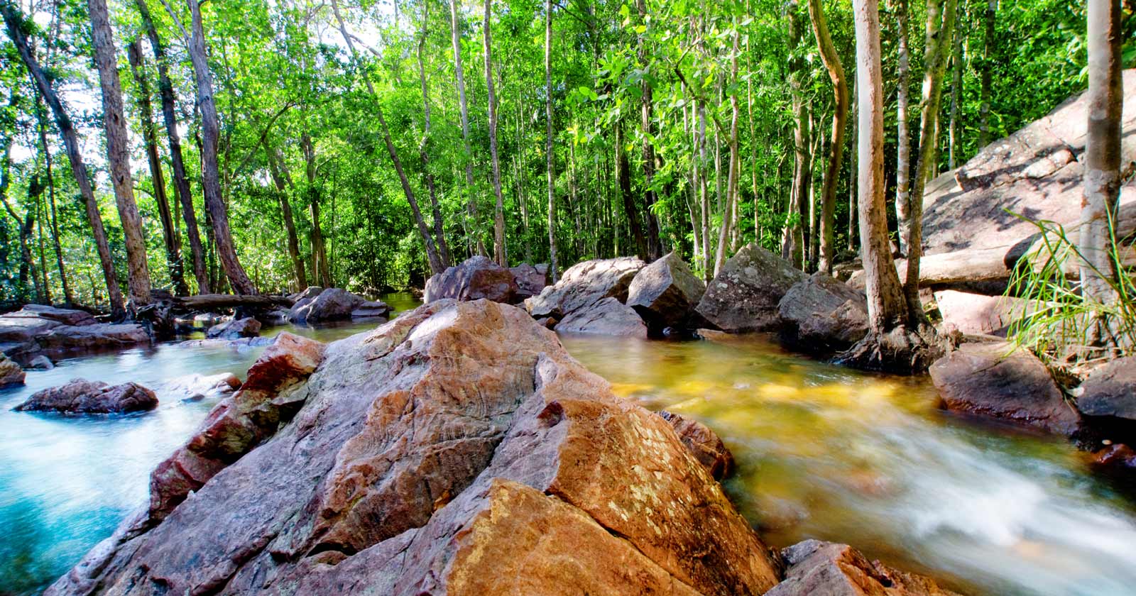
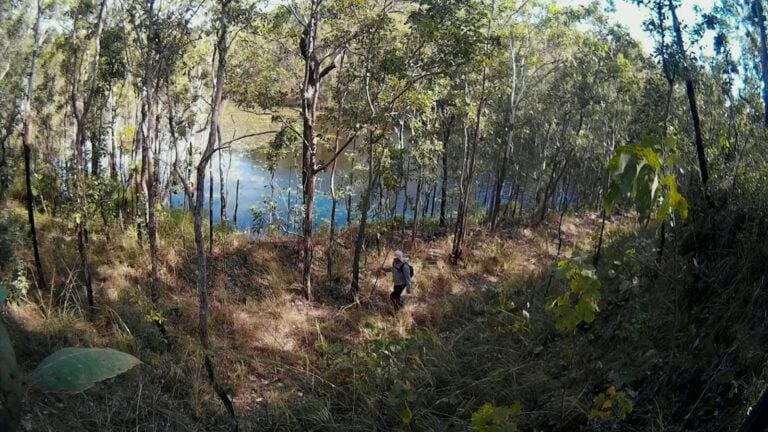
The four-day hike winds through Litchfield's savanna woodlands, alongside picturesque creeks, and past cascading waterfalls and inviting swimming holes. Hikers can access the Tabletop Track via several shorter link trails starting from Florence Falls, Greenant Creek, Wangi Falls, or Walker Creek.
The 39-kilometre circuit, which expands to 50.5 kilometres when including the access trails, is divided into three distinct sections. The 18.5-kilometre Wangi to Walker Creek leg offers scenic vistas along a palm-lined creek culminating in Tjenya Falls. The trail then progresses through open woodlands before reaching a refreshing dip in Walker Creek. The next section, a 12.3-kilometre stretch from Walker Creek to Florence Falls, showcases a changing landscape, featuring unusual sandstone formations and pockets of lush rainforest. The final leg, a 19.7-kilometre journey between Florence and Wangi Falls, follows Wangi Creek, lined with paperbark and pandanus trees, with the distinctive castle-shaped boulders marking the final shady portion of the track.
The ideal walking season is between June and August. Hiking later in the season, particularly September, requires a sense of adventure and the ability to navigate hot weather exceeding 30 degrees Celsius. However, the reward is a largely deserted trail and the opportunity to enjoy the waterfalls in complete solitude.
It's important to note that the Tabletop Track is designed for experienced and well-prepared bushwalkers with a good level of fitness. Completing the entire circuit typically takes three to five days, and camping is only permitted in designated areas. The track closes in late September for the wet season and may be subject to temporary closures due to wildfire risk.
Access points for the Tabletop Track are provided by the shorter link trails. These links also allow hikers to explore shorter sections of the main circuit if they don't wish to complete the entire loop. Permits and fees are required for both walking and camping. Bookings must be made online before commencing your trek. The following items should be carried in a good backpack.
- Water (at least 2 litres per person per day)
- Sufficient food and snacks
- Topographic maps and personal locator beacon or satellite phone
- Compass, first aid kit, pocket knife
- Cooking and eating utensils
- Fuel stove, fuel, matches
- Spare clothes, toiletries, toilet paper, trowel
- Sunscreen, DEET based insect repellent
- Sleeping mat, blanket, mosquito net or tent.
Camping areas
Camping is only permitted in designated areas along the Tabletop Track. Three campgrounds are located at intervals throughout the circuit. Alternatively, you can camp at designated campgrounds within the wider Litchfield National Park.
Planning Your Hike
The Tabletop Track can be completed as a full circuit or in sections via shorter link trails. Many of these options use link tracks to connect to the official Tabletop Track. As such, the accumulated total distance is longer. Here's a breakdown of the various options:
Litchfield Tabletop Track Full Circuit:
Distance: (39km*)
Grade: 3-4 - Moderate to difficult.
Time: 3-5 days
Florence Falls to Greenant Creek
Distance: 26.5km (22.5km*)
Grade: 4 - Difficult
Time: Allow 2 days
Note: A large part of this section has no natural waterways.
Greenant Creek to Wangi Falls
Distance: 12.5km (8.4km*)
Grade: 4 - Difficult
Time: Allow 1-2 days
Wangi Falls to Walker Creek
Distance: 20km (17.5km*)
Grade: 4 - Difficult
Time: Allow 2 days
Walker Creek to Florence Falls
Distance: 13.8km (10.7km*)
Grade: 3 - Moderate
Time: Allow 1-2 days
*Note: Lengths shown are based on recorded measurements and not the lengths promoted by the Parks & Wildlife Commission of the Northern Territory. There was a notable discrepancy, and it is safer to overstate rather than understate the distance.
Track Grade
Grade 4 (Hard) - Challenging Walks for Experienced Walkers: Grade 4 on the AWTGS signifies challenging walking tracks. Bushwalking experience is recommended for these tracks, which may be long, rough, and very steep. Directional signage may be limited, requiring a good sense of navigation. These walks are suited for experienced walkers who are comfortable with steeper inclines, rougher terrain, and potentially longer distances.
Tips
- The best time to hike is during the dry season (May to October) to avoid extreme heat and heavy rainfall.
- Carry sufficient water as natural water sources may not be potable.
- Sturdy hiking boots are recommended due to the rocky and uneven terrain.
- Inform someone about your hiking plan and expected return time.
- Camping is only permitted in designated areas. If planning to camp, ensure to book designated camping spots ahead of time.
- Swim only in designated areas - heed all signs.
- Parks may close unexpectedly due to bushfires, flooding or park maintenance.
- Before you go, check if the park is open.
- Always check for any park alerts or permits required before starting your hike.
- Flying your drone - get a permit before you arrive.
Map and GPX file
Max elevation: 221 m
Min elevation: 78 m
Total climbing: 690 m
Total descent: -690 m
Trailhead
Sorry, no records were found. Please adjust your search criteria and try again.
Sorry, unable to load the Maps API.
Getting there
The Tabletop Track itself is a 39-kilometre loop trail accessed via shorter link trails. These link trails start from various points around the perimeter of the circuit, including Florence Falls, Greenant Creek, Wangi Falls, and Walker Creek.
For this description, we'll use Florence Falls as the starting point. Florence Falls is a popular swimming hole within Litchfield National Park and shares the same access road as Buley Rockhole. The scenic falls flow year-round, but appear most impressive during the wet season and early dry season. Reaching Florence Falls is straightforward. The park offers two main access options:
2WD and Caravan Campground: This campground is suitable for all vehicles and provides amenities like toilets, showers, and fire pits. A short walking track leads from the campground directly to Florence Falls.
4WD Campground: Accessible by a sealed road, this campground caters to four-wheel drive vehicles. While some sections might be steep and unsuitable for caravans or trailers, two-wheel drive vehicles can still access the campground with caution. Similar to the 2WD option, toilets, showers, and a walking track to the falls are available.
Regardless of your chosen access point (Florence Falls, Wangi Falls, Walker Creek, or Greenant Creek), all offer ample parking to leave your vehicle securely during your hike. It's important to note that public transport is not available to Litchfield National Park, so a vehicle is essential for reaching the Tabletop Track.
About the region
Litchfield National Park: A Natural Wonder of the Northern Territory. Litchfield National Park, encompassing roughly 1,500 square kilometres, is a jewel of the Northern Territory. This ancient landscape, shaped by water over millennia, boasts a captivating array of natural wonders. Cascading waterfalls tumble from the sandstone plateau of the Tabletop Range, forming crystal-clear pools ideal for swimming.
The park is significant to the Koongurrukun, Mak Mak Marranunggu, Werat, and Warray Aboriginal people, with their ancestral stories woven into the very fabric of the landscape. Visitors can explore shady monsoon forest walking trails, marvel at the unique magnetic termite mounds, or be awestruck by the weathered sandstone pillars of the Lost City.
A Haven for Adventure: Litchfield National Park offers endless opportunities for exploration. Whether you seek refreshment beneath cascading waterfalls, marvel at fascinating termite mounds, discover hidden waterholes, or challenge yourself on hiking trails, this park caters to all interests. Camping is the primary accommodation option within the park boundaries, but various lodges and resorts are located nearby for those seeking different comforts. Even a well-planned day trip can allow visitors to experience the park's highlights.
History and Accessibility: The park's name honours Frederick Henry Litchfield, a member of the Finniss Expedition, the first European encounter with this region. Extensive mining for tin and copper dominated the area from the late 1800s until the mid-20th century. Declared a national park in 1986, Litchfield has become a haven for nature lovers.
While a sealed road connects the park's major attractions, a four-wheel drive vehicle is necessary to access The Lost City, Homestead, Central Valley, and the Reynolds River Track. During the dry season, this track allows experienced drivers to reach the Daly River Road. Renting a vehicle? Confirm if it's permitted on unsealed roads.
Accessibility is twofold. The park can be reached via the southern entrance near Batchelor or the northern entrance along Peninsula Way, forming the Litchfield Loop. This loop integrates the park with the Cox Peninsula, creating a more extensive sightseeing experience.
A Local Favourite: Litchfield National Park's pristine swimming holes and scenic walking tracks make it a cherished destination for Darwin residents. Basic amenities like meals and refreshments are available near Wangi Falls, while various accommodation options cater to different budgets and preferences, including campsites, cabins, and caravan parks within or near the park, and lodging options in the nearby township of Batchelor.
Suggest an edit
Spotted a change on this trail? Maybe there are new features, the route has shifted, or the trail is permanently closed. Whatever the update, I’d love your input. Your feedback helps fellow hikers stay informed and ensures that our trail info stays fresh and reliable.
Similar trails nearby
Looking for things to do in Litchfield National Park or nearby? Try these similar hikes or bushwalks.
Let someone know
Adventure with Confidence: Register Your Trip Plans
Before you hit the trail, take a moment to fill out our trip intentions form. It’s a simple way to share important details about your hike with family or friends. If things don’t go as planned and you’re not back on time, they can easily notify emergency services, helping to ensure a quick response and reducing worry. Enjoy your outdoor adventure knowing that you’ve taken a smart step for your safety.
Gear to consider
What you carry in your pack will depend on the weather, terrain, time of year, type of adventure, and personal preferences. Having trouble deciding what gear’s right for you? My free planning, food and packing checklists provide an introduction to things your could consider (as well as the Ten Essentials) on your day, overnight and multi-day adventures. Customise your kit according to your personal needs, always considering safety first.
Explore Safe
While planning your hike, it’s important to check official government sources for updated information, temporary closures and trail access requirements. Before hitting the trail, check local weather and bushfire advice for planned burns and bushfire warnings and let someone know before you go. Plan ahead and hike safely.
Weather
Acknowledgement of Country
Trail Hiking Australia acknowledges the Traditional Owners of the lands on which we hike and pay respects to their Elders, past and present, and we acknowledge the First Nations people of other communities who may be here today.


