Trail Fast Facts
Nierinna Creek Track is a 6.5km, grade 4 hike in Margate, Tasmania. This hike typically takes 3 hours to complete.
Hike Overview
Nierinna Creek Track offers a challenging 6.5km, grade 4 hike nestled in the serene landscapes of Margate, Tasmania, typically taking around 3 hours to complete.
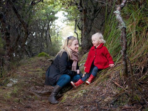
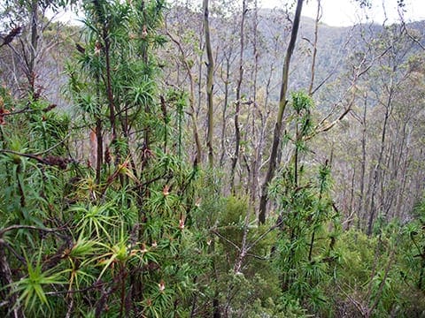
Access to this trail is available from either Burnaby Drive (uphill) or Lawless Road (downhill). As you traverse the path, immerse yourself in a vigorous journey that winds through verdant grasslands, natural bushland, and tranquil fern-filled gullies. Keep your senses alert for sightings of white goshawks, black swans, swift parrots, ducks, and the endearing noisy native hens that frequent the Nierinna Creek area. Thanks to the dedicated efforts of the Tramway Hill Landcare Group, the region has undergone significant weed eradication and rehabilitation with local native species.
The entire track is horse-accessible, facilitated by fords located adjacent to the top bridges. For those seeking extended adventures, consider combining the Nierinna Creek Track with the Margate Rivulet Track by ascending Burnaby Drive, turning right into Nierinna Road, and then left into Rollins Road for the downhill journey. Alternatively, merge your hike with the Kaoota Tramway Track by ascending Lawless Road.
Track Grade
Grade 4 (Hard) - Challenging Walks for Experienced Walkers: Grade 4 on the AWTGS signifies challenging walking tracks. Bushwalking experience is recommended for these tracks, which may be long, rough, and very steep. Directional signage may be limited, requiring a good sense of navigation. These walks are suited for experienced walkers who are comfortable with steeper inclines, rougher terrain, and potentially longer distances.
Tips
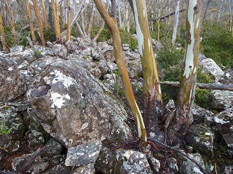
- First a natural grassy surface, mostly level then a narrow bush track with some very steep climbs.
- Horses and bikes are permitted on the entire track but the top section is recommended for experienced bike and horse riders only.
Map and GPX file
Max elevation: 162 m
Min elevation: 40 m
Total climbing: 241 m
Total descent: -241 m
For more information on this trail, visit Greater Hobart Trails
Trailhead
Sorry, no records were found. Please adjust your search criteria and try again.
Sorry, unable to load the Maps API.
Getting there
Nierinna Creek Track is best accessed from the end of Burnaby Drive in Margate. Parking is available at this point.
Photo gallery
If you’ve got some great shots from this hike, I’d love to see them! Please upload your .jpg files here to help inspire other hikers and show off the beauty of the trail.
A quick note: Uploading your photos doesn’t mean you lose ownership. You’ll be credited for any photos you share, and you can request to have them removed at any time.
About the region
Margate is a small seaside town on the Channel Highway between North-West Bay and the Snug Tiers, 7 kilometres south of Kingston in Tasmania, Australia.
Suggest an edit
Spotted a change on this trail? Maybe there are new features, the route has shifted, or the trail is permanently closed. Whatever the update, I’d love your input. Your feedback helps fellow hikers stay informed and ensures that our trail info stays fresh and reliable.
Similar trails nearby
Looking for things to do in Margate or nearby? Try these similar hikes or bushwalks.
Let someone know
Adventure with Confidence: Register Your Trip Plans
Before you hit the trail, take a moment to fill out our trip intentions form. It’s a simple way to share important details about your hike with family or friends. If things don’t go as planned and you’re not back on time, they can easily notify emergency services, helping to ensure a quick response and reducing worry. Enjoy your outdoor adventure knowing that you’ve taken a smart step for your safety.
Gear to consider
What you carry in your pack will depend on the weather, terrain, time of year, type of adventure, and personal preferences. Having trouble deciding what gear’s right for you? My free planning, food and packing checklists provide an introduction to things your could consider (as well as the Ten Essentials) on your day, overnight and multi-day adventures. Customise your kit according to your personal needs, always considering safety first.
Explore Safe
While planning your hike, it’s important to check official government sources for updated information, temporary closures and trail access requirements. Before hitting the trail, check local weather and bushfire advice for planned burns and bushfire warnings and let someone know before you go. Plan ahead and hike safely.
Weather
Acknowledgement of Country
Trail Hiking Australia acknowledges the Traditional Owners of the lands on which we hike and pay respects to their Elders, past and present, and we acknowledge the First Nations people of other communities who may be here today.


