Trip Report by Dean Herman – October 2018
I thoroughly enjoyed each of my hikes along the Burchell Trail
As a recent convert to hiking and bushwalking, I am always on the lookout for my next hiking adventure. Having hiked consistently for 18 months now I’ve settled on 15-25km as my preferred trail length as it allows me to get well off the beaten track and explore, but not so far as I can’t make it back before dark. Brisbane Ranges National Park is one of my favourite parks due its varied topography and it being one of Victoria’s most diverse habitats for native plants and animals. With a myriad of trails and tracks to explore, it’s a great place for beginners and experienced hikers alike. The longest trail in the park is the Burchell Trail. At 35km it runs from Boar Gully Camping Area in the north to Friday’s Picnic and Camping Area in the South (just north of the historic town of Steiglitz) it traverses nearly the full length of the park. Criss-crossing the range, the Burchell Trail is well marked and captures most of the Park’s major points of interest.
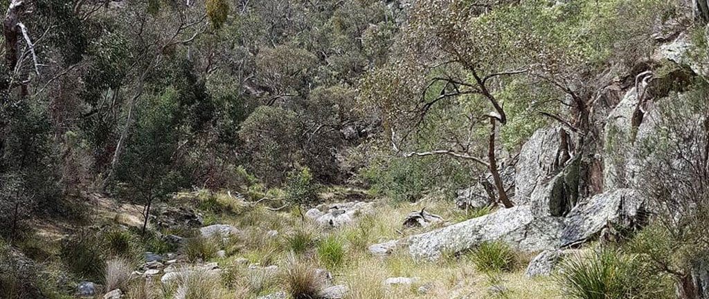
Whilst the Burchell Trail always appealed to me, a lack of lightweight camping equipment and experience has meant that I am limited to paths and tracks that can be completed in one day. So, in order to complete the Trail in full, I had to be creative and plan how I could break the path into segments. After a little trial and error, I came up with:
Hike 1 (23km): Boar Gully Camping Area to Little River Picnic and Camping Area (with a side trip up the Echidna Spur)
Hike 2 (21km): Anakie Gorge Picnic Ground to Little River Picnic and Camping Area via Lower Stoney Creek Reservoir
Hike 3 (22km): Furze Track to Friday’s Picnic and Camping Area and return via Pine Track.
Boar Gully to Little River
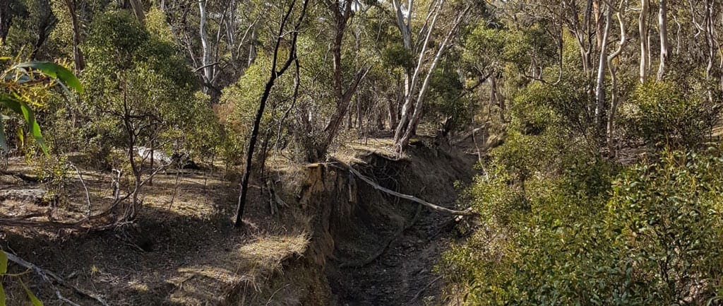
Essentially this is the “Boar Gully Loop” walk with two additional side trips, a walk down to the Little River Picnic and Camping Area and on the return, a walk up the Echidna Track. The southerly leg follows paths along the western boundary of the park via the Little River, Kangaroo and Wallaby tracks. The Boar Gully Loop, follows the Kangaroo Track to Thompsons Rd, so my route variation starts by taking the Wallaby Track around to Mclean’s Highway. Follow the Mclean’s Highway downhill to the Little River Picnic area, which is a nice secluded place to break for lunch. As you descend from the top of the bluff you will pass Mac’s Track and the Echidna Track to your left. On the northern journey, retrace your steps up Mclean’s Hwy to the Echidna Track. I followed this track back uphill along the spur. It only takes about 30 mins or so each way but at the end there is an opportunity to take in views across the valley which is well worth the effort. Once back at Mclean’s Hwy, follow this until it merges with Thompsons Rd and continue north. Just north of this junction, there is a car park and the trail leaves the dirt road here. The trail leaves the road on the eastern side and narrows quickly as it descends steeply into a valley. The path here is loose and steep and is the most challenging section. As the trail reaches the bottom of the gully it passes over a small bridge before it begins to climb towards Slate and Quarry Tracks. As the trail ascends the gully walls the trail improves as it re-joins former vehicular tracks. Once on top of the spur you will pass through a dry forest before coming to Thompsons Rd, which you follow north. After a short distance take Old Thompson Track as it diverges to the west. Once on Old Thompson Track you can follow either the Kangaroo and Link Tracks or Old Thompson and Open Tracks back to the Little River Track and eventually Boar Gully. This circuit will allow you to traverse the northern 12km of the Burchell Trail whilst also sampling some of the smaller tracks. You will pass through a number of woodland areas with varying characteristics and will see a large number of birds and larger animals (wallabies, echidnas, reptiles). It is important to note in this section where the trails commence and diverge as it is easy wander into private properties, especially on the western park boundary.
At 23km I completed this hike in 6 hours including a few breaks.
Anakie Gorge Picnic Area to Little River Picnic and Camping Area Via Lower Stoney Creek Reservoir
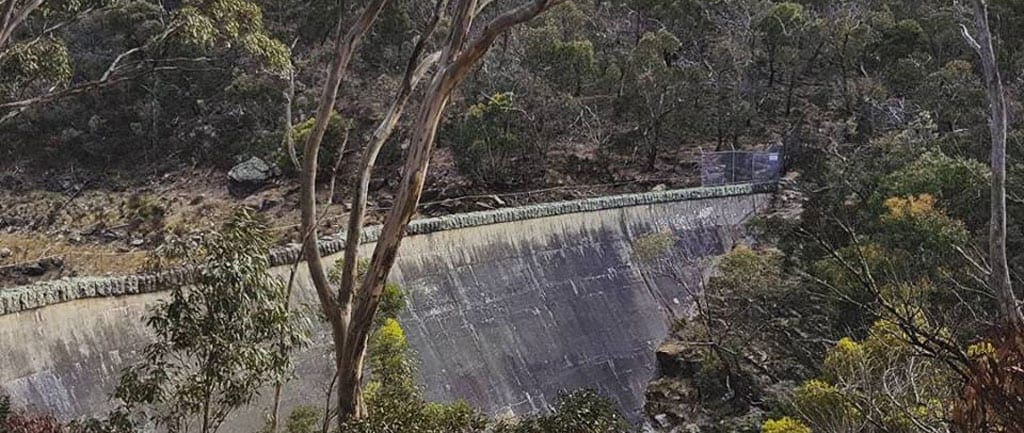
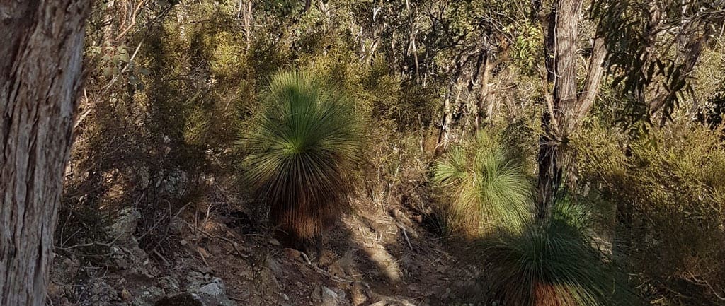
This leg was arguably my favourite. There was always something to see and do and it kept me engaged for the whole journey. I chose to start from Anakie Gorge Picnic Area as it was easier for me to get to, but it would be just as easy to start from the Burchell Trail’s intersection with Geelong-Ballan Road on the Western side. I started the walk early, near dawn, and followed the Anakie Gorge walk through the steep dry gullies. The path is wide and easily negotiable, with stepping stones over several dry creek beds. Being early, the bird songs were loud and clear, and many different species, large and small, could be observed as you pass. The trail continues over Switch Rd towards the reservoir. Built in the late 1800’s the Reservoir is of historic significance being the 3rd such reinforced concrete structure of its type and the first to modern engineering standards. There is a bench and information board as the track ascends along the western slopes of the valley, which is as far I got. I retraced my steps towards Stoney Creek Picnic Area but turned north taking the Wadawurrung Track up the spur.
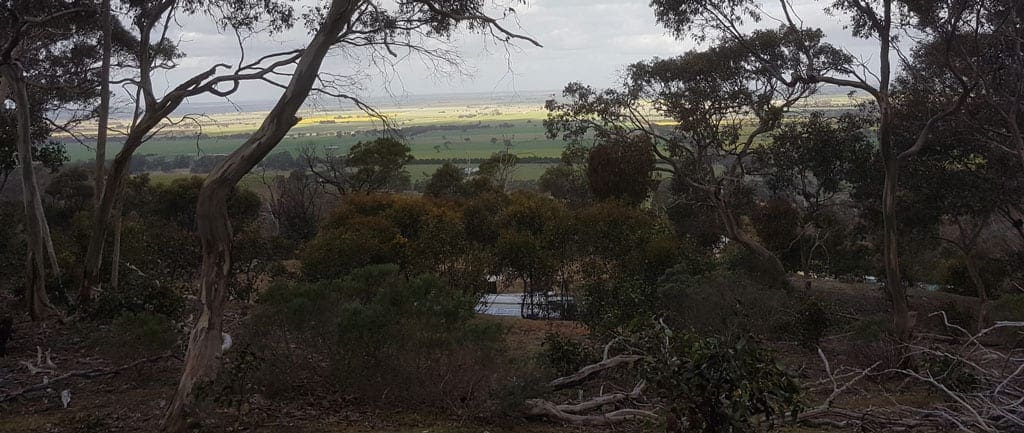
This track climbs steeply from the valley floor and as you climb, there are great views west over the reservoir and east over the farms and plains. The path eventually joins Switch Rd for the easy walk along the edge of the plateau. Switch Rd runs into the Mclean’s Hwy. At this intersection, cross Mclean’s Hwy onto the disused management track, Griffen Hill Trail, after about 2km the Burchell trail heads north (your right). The orange trail markers were clearly visibly when I hiked, but, if you re-join Mclean’s Hwy, you’ve gone too far. The trail will narrow to a single path as it descends into the Little River and Reilly Creek Valley. I found this narrow ravine to be the most enjoyable section of all my hikes in this series. After a good rainy winter and spring, the creeks were flowing, albeit just. But the combination of austere rock faces, reedy gullies and clear running water made for a relaxing and enjoyable sector. The path is easily identifiable as it wends its way to Little River Picnic and Camping Area, the northern most point on this hike. This segment follows the Burchell Trail from Stoney Creek to Little River Picnic area and is well marked throughout. To return, retrace your steps excluding the side trip to the reservoir. You can walk Mclean’s Hwy back Switch road as a variation or to save a bit of time.
Furze Track to Steiglitz and return via Pine Track
This walk is probably the easiest of all three hikes as it utilizes more management tracks than the others and had less difficult climbs. Start at the Furze Track entrance to the park on Geelong-Ballan Road and head west. Whilst this is not a picnic or camping area per se, it is off the main road and has enough room to park several cars. Follow Furze Track as it passes through the dry woodlands along the top of the range. After a few turns it will start descending into the gullies and valleys. You will pass Buckshot Track heading north, and Geebung then Pine Tracks approaching from the south. At Sutherland Creek you will pass the Old Mill Picnic and Camping Area where you can take a break. The Furze Track turns north and runs into Steiglitz-Durdidwarrah Road. After a few hundred metres the trail leaves the road bearing north west, as the Join Track, wending its way through forests and around hill tops. There is a short side trip that can be taken via the Bracken Track which heads north (right) and then west along Century Track. This leads to the long-abandoned Century Gold Mine atop the spur. The mine shaft and various foundations can be found at that site. After backtracking to the Join Track follow the Orange markers as the head west before it reaching the western Boundary of the park. Here the trail narrows and heads south (the name of the tracks continually changes here, but the markers are quite clear).
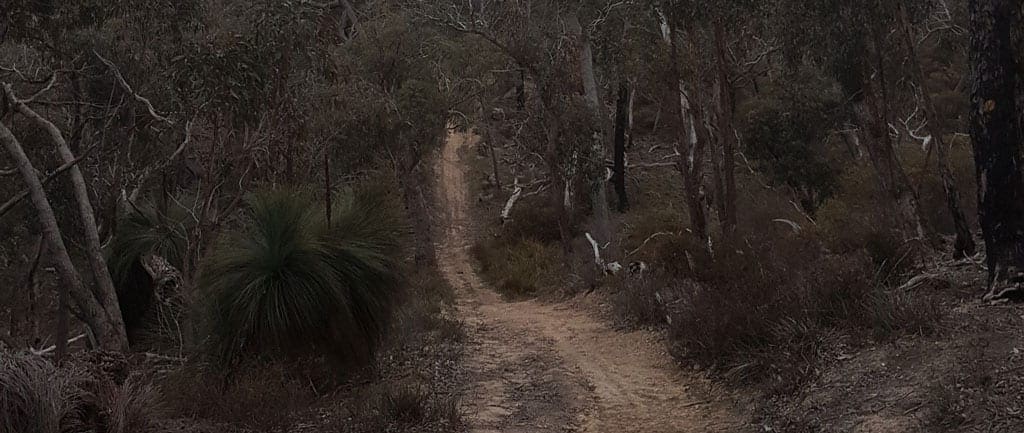
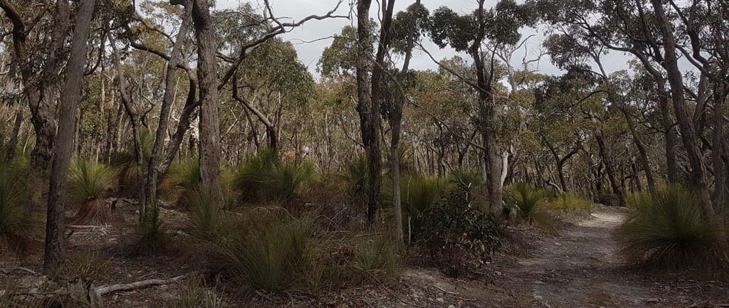
The trail near the western boundary is the most awkward on this hike as it was uneven with lots of small loose rocks, but not exceptionally difficult. In this area were many large examples of the native grass trees too, which were very impressive. As the path heads south, it follows Graham’s Gully before arriving at The Crossing Picnic area. Here the trail turns east towards the Steiglitz township and after passing the junction of Lease Rd, follows Yankee Gully for several kilometres. Yankee Gully was the site of much of Steiglitz’s gold mining activity in the late 1800’s, information boards in this sector identify important sites. The trail continues east crossing Native Youth Track, Steiglitz-Durdidwarrah Rd again and Friday’s Track before a loop around a small gully brings you too Friday’s Picnic and Camping Ground. This is the southern terminus of the Burchell Trail. Whilst I chose to return to my starting point via Sawpit Gully Road and Pine Track, this walk could be completed as a car hop which would allow more time to discover the historic buildings in the Steiglitz township, a kilometre or two to the south, and reduce the walk to around 15km. The return journey traversed a number of low ridges as you re-join Furze Track, which provided a great view in the late afternoon sunshine.
I thoroughly enjoyed each of my hikes along the Burchell Trail. The park is easily navigated with a phone and a good park map (I had both the Parks Victoria visitor note and a Brisbane Ranges Special Features map).
