Trip Report – April 2023
The Yurrebilla Trail winds its way through the Adelaide Hills from Belair National Park to Amber’s Gully in Black Hill Conservation Park, 54km along the track and one of the challenges I set for myself for 2023 but before I get into that a little about myself.
I have always enjoyed running and hiking and twice before made the commitment to myself to complete the Yurrebilla Ultra, first in 2008 and again in 2019 for the 2020 event. My 2008 ambitions ended through injury and I turned to cycling for fitness, found it incredibly rewarding and therapeutic and it opened me up to a new and supportive social network called MAMILs. In 2019 cycling formed part of my buildup to the 2020 Yurrebilla Ultra until November 16th when, on a Saturday morning bunchie through the Adelaide Hills, a crash on a fast descent left me with serious spinal injuries and several days of not knowing how well or even if I would walk again. 10 days in the RAH spinal unit, 3 months off work, 6 months of rehab and ongoing mobility and fitness building with plenty of challenges along the way brings me to 2023 and ready for another crack at the Yurrebilla. Prior to this my longest hike had been about 35km and most elevation in a single hike had been a touch over 1000m, the Yurrebilla at 54km and around 1900m VA will surely test me both physically and mentally.
Section 1: Belair to Eagle on the Hill
Learn more about this 17.5km section.
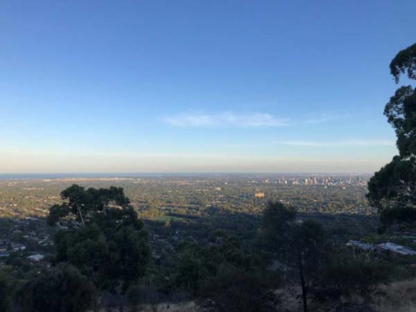
The day started at the old Belair Railway Station car park; 5am on March 25th, unseasonably cold for a March morning, windy and still in total darkness. The only witnesses to my early start the kangaroos having an early breakfast and a couple of owls spotted with my headlamp. I continued my journey through darkness until about 7am, by this time I had made it to Brownhill Creek and by the time I got my first real view of the Adelaide skyline it was 7:30 and the city was starting to see early morning sunshine. From here the trail makes it’s way to the ridge at the top of Waite Conservation Park where the wind was making a real effort at being annoying and I spent the next hour or so picking up my hat until I reached the Old South Eastern Freeway, which the trail follows to Eagle on the Hill. Section 1 completed and 17km in the bag.
Section 2: Eagle on the Hill to Summertown
Learn more about this 7km section.
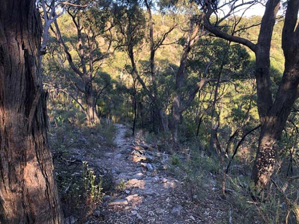
Section 2 is where the walk started to get more interesting. Up until now the trail has been quite easy going with wide paths, some road walking, very little steep stuff and plenty of downhill. This changes as I leave the Old Freeway, the trail down to Waterfall Gully Track is narrow with lots of rocks and some sharp drop-offs to keep you concentrating and while WG Track is wide and sealed it leads you to the first really steep incline of the day with Bilba Track climbing sharply to Cleland Conservation Park and my first rest stop, the Barking Gecko Cafe. Time to get some carbs and caffeine to fuel the next few hours.
While at the cafe I got a call from good friend and all-round great bloke Brett checking on my progress, Brett was hoping to meet me somewhere along the way and join me for company and moral support, we decided we would meet along Wine Shanty Track. Brett is another seasoned former cyclist turned hiker who loves nothing more than the challenge hiking can bring, both physical and mental, and has completed several Everesting attempts (8848m VA, 1 hill, 1 activity) in cycling and hiking and through-hiked the Yurrebilla in 2022.
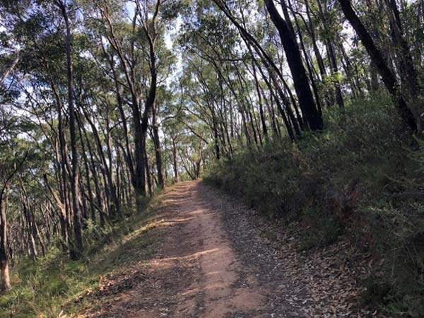
After my 20 minute refresher stop it was time to get moving again, the Wine Shanty Track was next and I met up with Brett about 2 or 3 km along. Wine Shanty is easily my favourite track in the Adelaide Hills, undulating and stunning with its tall eucalypts and lush undergrowth, wildflowers throughout the year including beautiful native orchids and wildlife in abundance. This roughly 5km segment through Cleland Conservation Park finishes section 2 and with a little over 24km done brings us almost to the halfway point of the Yurrebilla.
Section 3: Summertown to Norton Summit
Learn more about this 9km section.
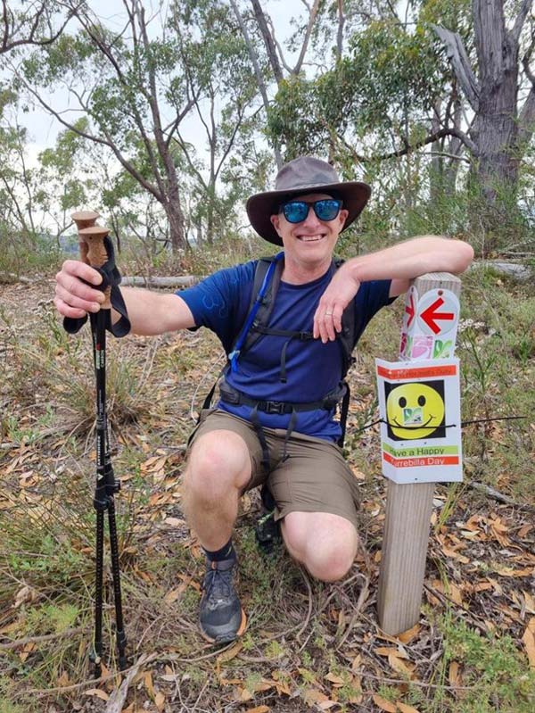
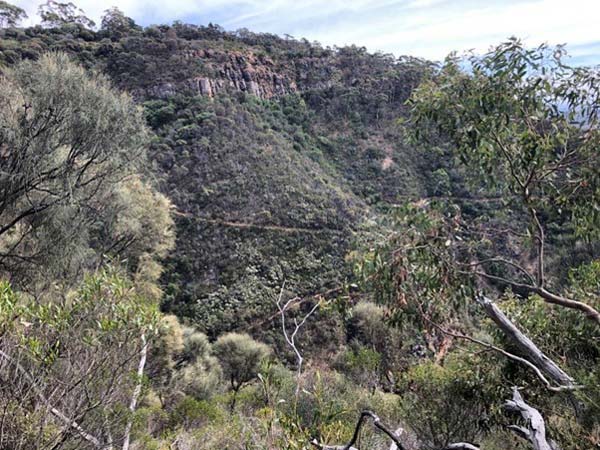
As we leave Cleland Conservation Park the first couple of kms are fairly unremarkable following roads and passing properties and I find myself glad to have Brett for company as a bit of banter makes the time pass quickly and we soon find ourselves at the top of Horsnell Gully Conservation Park. Here the landscape changes to a more rocky environment with short, woody gums and spiny undergrowth very similar to Mallee Scrub, different but no less beautiful, with narrow single-track hiking as we start to descend into the valley and past Giles Ruin. The descent is steep in places and can be treacherous especially if it is wet but luckily the lead-up to today has been dry and as we hike further into the valley we see the return of lush undergrowth.
The track bottoms out at Giles Ruin, a reference to Charles Giles who, with John Horsnell, settled in the area in the 1840s and who the Horsnell Gully and Giles Conservation Parks were also named after. It also brings us to Ridge Track, a wide fire track and the first real significant hill climb. Ridge Track climb is about 2.5km in length and gains roughly 210m in altitude over that distance and with now 30ish kms in the legs is the the first real test of the legs, it is relentless and whenever you think you have reached the top it kicks up again but with all that said you are rewarded along the way with stunning views of neighbouring hillsides covered in thick eucalypt forest. Once you reach the top it is some flat hiking through forest, a short but steep decline and a 1km road walk to the end of the section at Norton Summit. It is also where my plan for the day came a little unstuck.
Section 4: Norton Summit to Morialta
Learn more about this 7.5km section.
I initially planned to do this hike in early April but some work and personal commitments got in the way, the hike was brought forward a couple of weeks and up until now had been going to plan, even running a bit ahead of my predicted schedule. The Scenic Hotel, an iconic little pub at Norton Summit, would be my major rest stop for the day to refuel with a light meal and hydration before the hardest part of the hike through Morialta and Black Hill Conservation Parks however I had forgotten to recheck and confirm if the Scenic would be open…turns out it wasn’t! Fully booked for a private function! Closed to the public! A dumb rookie error I won’t be making again any time soon. Lesson learnt.
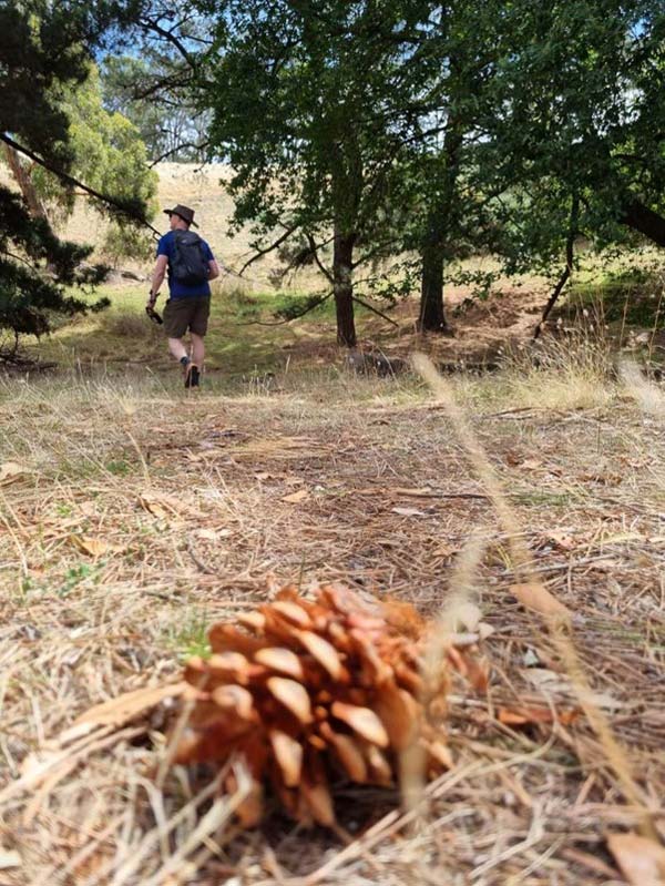
I was able to refill with water at Norton Summit and after a short rest and a couple of trail bars, Brett had decided to join me for the rest of the hike (a decision for which I would later be grateful), we headed off. Morialta Conservation Park is nothing if not stunning; waterfalls, beautiful flora, abundant wildlife and amazing views…it also has some climbs that can make even the freshest legs beg for mercy!
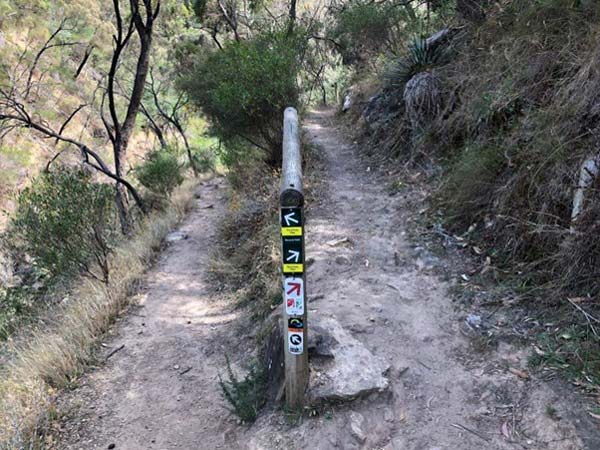
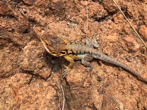
The trail winds it’s way through Morialta past a waterfall, follows the creek for a bit, then gently climbs along single tracks lined with eucalypts, she-oaks and wattles filled with birds including Honey Eaters, Rosellas, majestic Black Cockatoos, kangaroos and echidnas are common as are reptiles like Tawny and Bearded Dragons, countless skinks and snakes including the Eastern Brown, Red-Bellied Black and Pigmy Copperhead. When hiking through the Adelaide Hills it is wise to carry a snake bite bandage and have at least a basic understanding of first aid for snake bite.
Section 5: Morialta to Amber’s Gully
Learn more about this 13km section.
The final section is a 13km stretch and easily the hardest with 2 brutal climbs and little shade to shield you from the sun, the day started cool and cloud cover had kept the sun away but by now this had burned off and the afternoon was sunny and quite warm with temperatures in the mid 20’s.
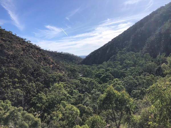
After a short stroll along a cliff top track with incredible views the Yurrebilla turns right onto a narrow, rocky trail that very quickly angles upward and my mistake with the Scenic Hotel hit home. With over 40km now in the legs, more than I had done before in one hike, the steep incline very quickly had me struggling. The scenery and wildlife soon became secondary as my focus turned to just putting one foot in front of the other in an effort to make it to the top and once there needed to drop a couple of Hydralite tablets into my water to boost my energy levels before the 4.5km or so to Montacute Rd and the bottom of Black Hill, almost all of it downhill and mostly easy hiking.
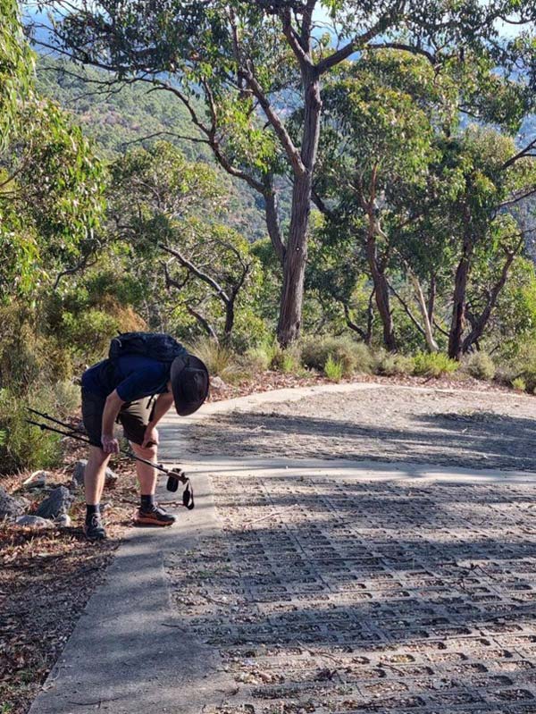
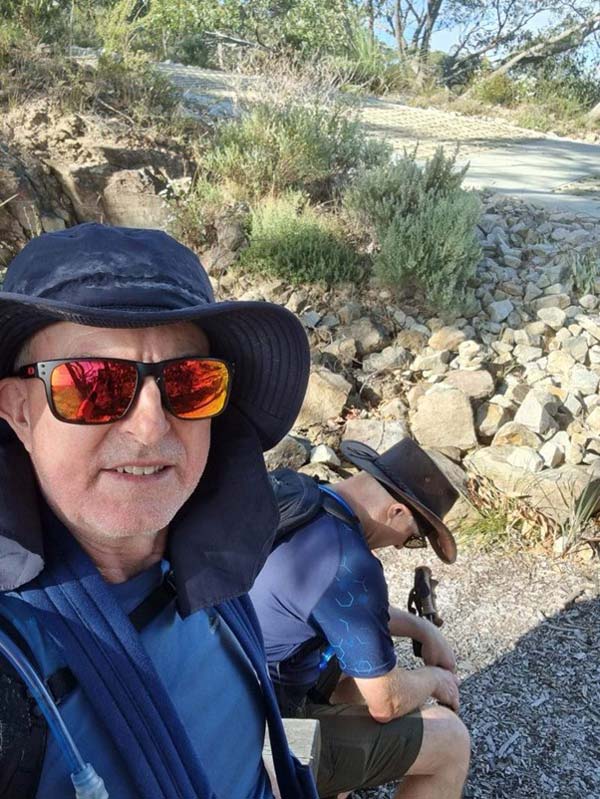
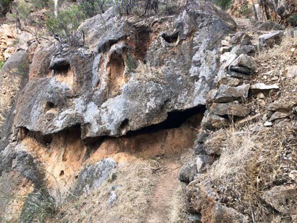
With not properly recharging earlier I was now becoming fatigued and the warmer temperatures were making me drink more, as a consequence I drained my water bladder for the third time on the way down to Black Hill. I had drunk about 7 litres of fluid up to this point and there was no opportunity to refill before hitting the last (and most brutal!) climb but luckily Brett had a spare 2lt bladder, this and his bag of jelly beans probably saved my day. Quarry Track starts level to Montacute Rd but quickly starts ramping up, gently at first then gradually steeper until it gets to a roughly 500m section with pitches between 30% and 40% and all of it in pretty much full sun. To say I hit the wall on this hill is an understatement, even on the most gradual incline my legs turned to jelly, I felt ill and every fibre of my being was telling me to quit. I can honestly say without Brett for moral support I don’t think I would’ve finished, that and his bag of jelly beans, sweet sugary goodness! 50 steps at a time, stop, handful of jelly beans, another 50 steps and repeat, combined with Brett’s encouragement and his occasional photo of me in my pain, misery and suffering to share with the world on Strava 🤣 (thanks mate!) and eventually the hill was conquered leaving about 4km of walking until the end. Black Hill is a really interesting place but to be honest I really didn’t notice much of it, by the time we finished the last climb I was fatigued, sore and focussing on just getting it done and thankfully it was almost all downhill.
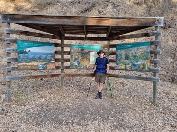
I reached the bottom of Amber’s Gully a bit over 13 hours after I started, glad it was over but incredibly proud to have completed it.
Strava Stats
Distance: 57km
Elevation Gain: 1878m
Elapsed Time: 13h 14m 28s
Ave. Moving Speed: 4.8kph
Learnings:
Confirm resupply points.
It’s all the jelly beans
Would I do it again? Absolutely
My wife’s verdict: You stink!!
Trip report and photos courtesy of Torsten Bunge.


A great read Mate….
You showed true Grit & Determination on the day
Been on a few of your challenges to date and have enjoyed them all…
Look forward to many more
Brett