Trip Report by Dean Herman – February 2018
Combined tracks for a full day’s hiking
The Murrindindi Scenic Reserve in the Toolangi State Forest provides a number of well prepared trails accessing the park’s mains features (ie the falls and the cascades). For those with sufficient fitness and enthusiasm, these tracks can be combined for a full day’s hiking.
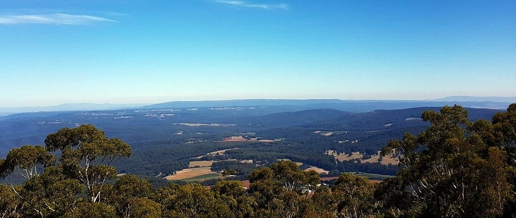
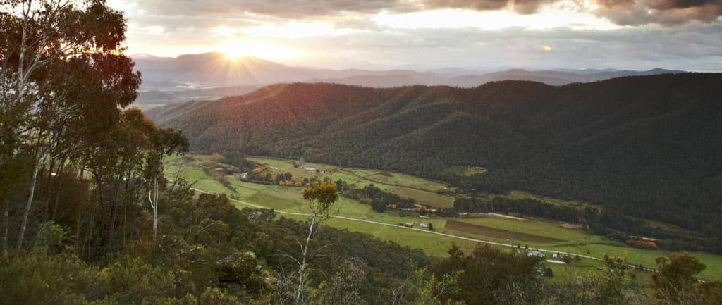
Starting at the the SEC Campground, I joined the Wilhelmina Falls Track on the first leg of my journey. The path heads east at a gradual climb straight out of the campground until you reach a junction for a picnic ground at the base of the falls. The first glimpses of the falls can also be seen near here, above on the mountainside, so keep a good lookout. Shortly after this point the steep ascent to the falls proper begins. Considering the height of the climb, I found this track relatively straight forward to navigate, noting stairs and chains are provided on the more difficult sections and there are plenty of recessed areas for a rest. The climb rewards you with access to the falls and panoramic views of the Reserve and north across the valley towards Yea. In the early morning light, I found this quite breathtaking.
After viewing the falls and breaking for 30 minutes or so, I continued along the track towards the Junction with the Boroondara Loop. At this junction I could’ve continued along the Mill Loop Track north and eventually back down to the SEC car park, or head south towards the Cascades. With a whole day at my disposal, I turned south along the Boroondara Loop.
This path continued to climb for approximately 1km or so before commencing the descent back towards the Murrindindi River. Along the descent the vegetation changes through the various temperate zones. The Loop track eventually reaches the floor of the river valley and the Murrindindi River Walk at the Ferns Picnic and Campground. Joining the River Walk I headed south towards the cascades. On the journey, the track crosses the river several times and relics of the areas timber milling past can be found. All river and creek crossings in the reserve have small steel bridges, meaning no wet, muddy feet. There are a number of small hills to overcome before the last major climb towards the cascades.
This last climb is around 250-300 metres and after a few hours of walking is quite tiring, however, the cascades are hugely rewarding, offering a great place to relax and take in the scenery and serenity. The sights and sounds of the river plunging over the edge of the rocks and back to the valley floor is a great backdrop to lunch and a good stretch.
To expedite the return trip, I took the Murrindindi Road back down, rejoining the Murrindindi River Walk at the Ferns Picnic ground. After starting my hike at 8.50am, I returned to the SEC campground at 4.20pm. In total, the walk was approximately 22km and took 7.5 hours to complete with approximately 800m of vertical climbing. All the paths were clear and well maintained, which allowed a good pace to be maintained throughout.


How long is the walk?
the following is mentioned in the post. . In total, the walk was approximately 22km and took 7.5 hours to complete with approximately 800m of vertical climbing.
Good to see you posting again.